
Product update
Title boundaries you can attach to a site
 Takeshi · 28 July 2026 · 2 min read
Finding a promising site is only half the job. The next question is always the same: what exactly am I looking at, and who owns it? Until now that meant leaving Landicia and checking boundary shapes in another tab.
Boundaries as a map layer
Indicative title boundaries are now a layer on the Find Sites map, alongside flood zones, green belt, conservation areas and TPOs. Toggle it on and you can see how registered parcels sit against the opportunity you are assessing.
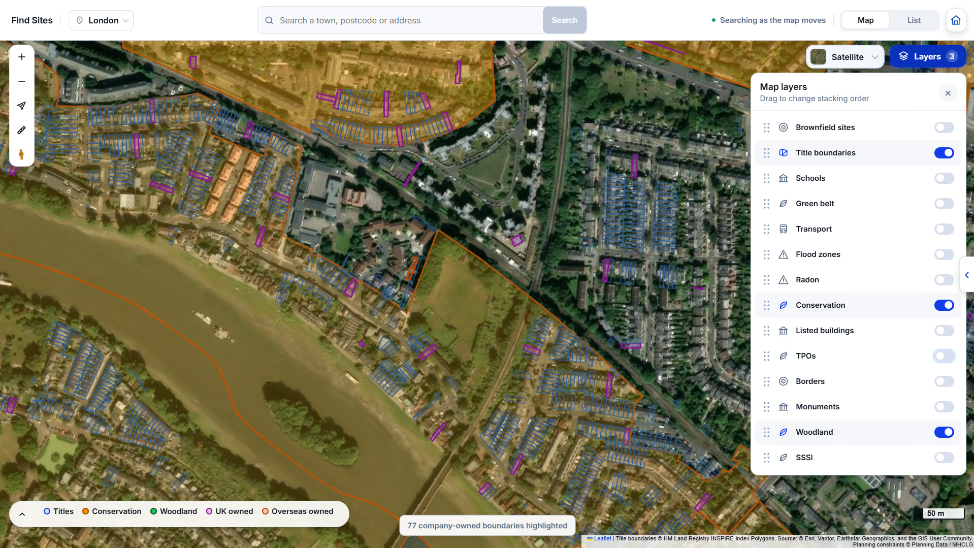
Title boundaries enabled over a London search area.
Boundaries from the INSPIRE index are indicative. They are a strong starting point for identifying a parcel, not a legal statement of extent. The official title plan remains the authority.
Attaching a polygon to an opportunity
Select a boundary covering a saved site and it links to that opportunity. The polygon reference then appears on the Title and owner tab, ready to copy into the Land Registry search, and stays attached when you draft the letter.
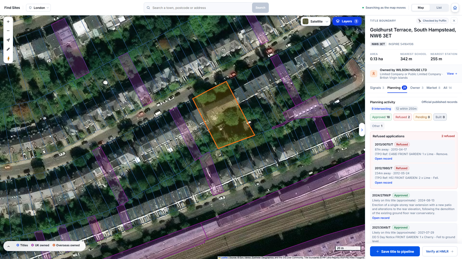
References carried into the title search step.
If you are already a customer the layer is live in your account. If you are not, the fastest way to judge whether it helps is to see it on land you already know.
See it on your own area
We load your target area before the call.